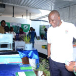
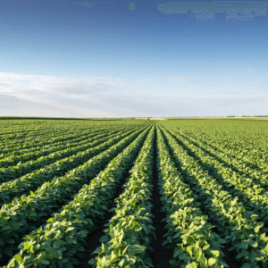
NRSC applies earth observation technologies to contribute to enhancing sustainable agricultural practices across Zambia. Through the use of satellite imagery (Sentinel-2, Landsat-8) and radar data, supported by machine learning analytics, NRSC provides reliable information to track crop health, land use patterns, and agricultural productivity.
Our Services
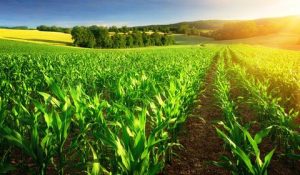
- Crop Monitoring & Yield Estimation (Research Underway)
NRSC utilizes vegetation indices such as NDVI and EVI from satellite imagery to assess crop conditions and support early yield - Precision Farming Support
Providing spatial data and advisory maps that help farmers and agricultural planners make informed decisions for better productivity and resource


