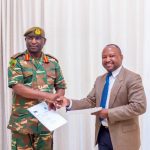
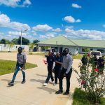
NRSC uses satellite imagery and geospatial analysis to support disaster preparedness, response, and recovery in Zambia.
By monitoring weather patterns, land conditions, and environmental changes, NRSC provides timely information that helps reduce the impact of disasters on communities and the environment.
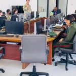
Our Services
- Flood and Drought Monitoring
Using remote sensing and GIS technologies to track rainfall, water levels, and vegetation changes for early warning and response - Disaster Risk Mapping
Producing hazard maps and vulnerability assessments to guide disaster management efforts and strengthen community - Post-Disaster Assessment
Providing satellite-based damage assessments to support rapid response, resource allocation, and recovery