Zambia Army and National Remote Sensing Centre Sign Strategic MoU to Strengthen National Security Through Geospatial Intelligence
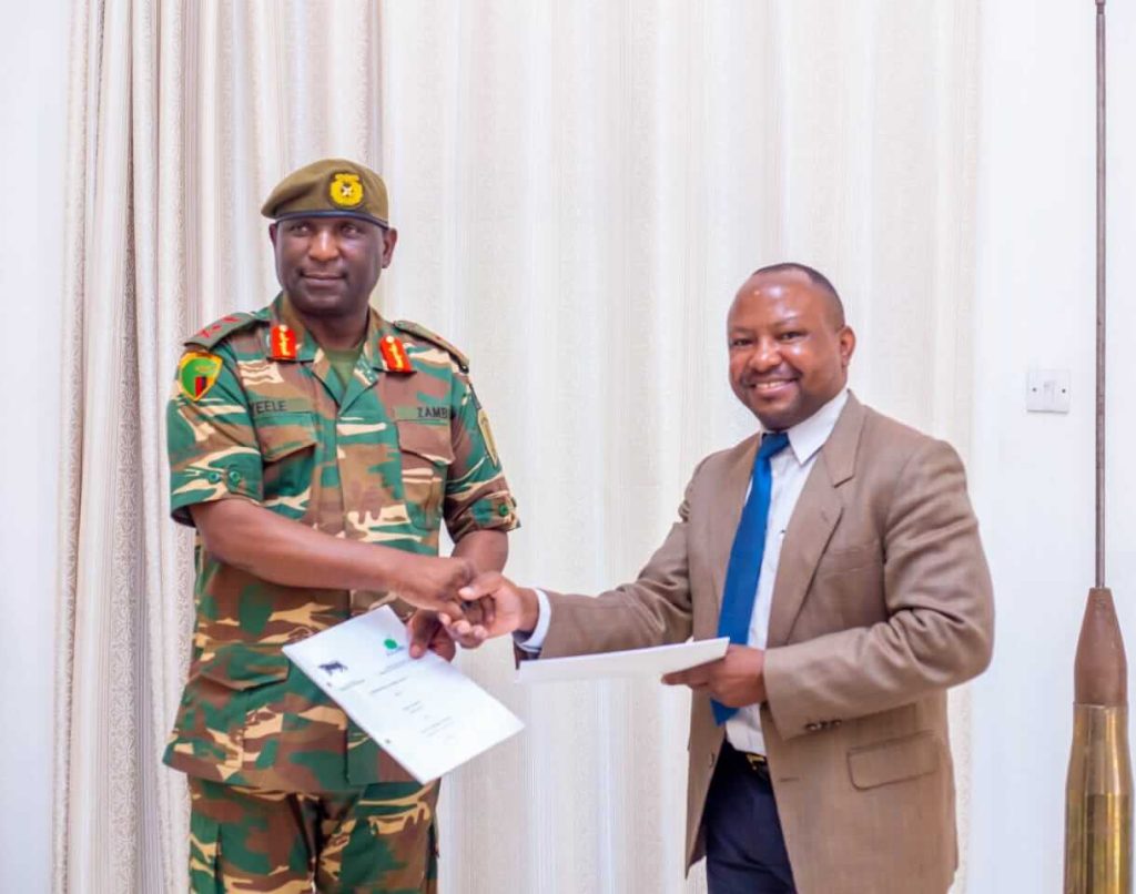
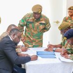
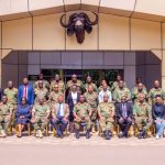
The Government of the Republic of Zambia has taken a decisive step towards strengthening national security and defence capabilities following the signing of a Memorandum of Understanding (MoU) between the Zambia Army and the National Remote Sensing Centre (NRSC). The agreement, signed on Thursday, 16 April 2026, formalises a strategic partnership that integrates Earth Observation, remote sensing and geospatial intelligence into Zambia’s defence and security architecture, reinforcing the country’s commitment to a modern, proactive and data driven national security posture.
The MoU establishes a framework for structured collaboration between the Zambia Army and the NRSC, recognising geospatial intelligence as a critical national capability in safeguarding territorial integrity, protecting strategic natural resources and supporting informed defence planning and operations. The partnership reflects a shared understanding that contemporary security threats require advanced technological capabilities, reliable data and coordinated action across government institutions.

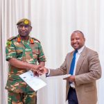
Speaking at the signing ceremony, the Army Commander, Lieutenant General Geofrey C. Zyeele, reaffirmed the Zambia Army’s commitment to transforming into a technologically advanced and intelligence led defence force. He emphasised the importance of integrating remote sensing and Geographic Information Systems into military operations, noting that access to accurate and timely geospatial data is essential for effective surveillance, operational planning and strategic decision making. He further observed that the agreement strengthens institutional cooperation by enabling the systematic sharing of research outputs, documentation and analytical products between the two institutions.
Also speaking at the signing ceremony, the Executive Director for NRSC, Dr. Patrick Sibanda, described the signing of the MoU as a significant national milestone and a clear recognition of the strategic value that geospatial intelligence brings to national security.
“Earth Observation and remote sensing technologies have evolved from being purely scientific tools into critical national assets,” Dr. Sibanda said. “Through this partnership with the Zambia Army, the National Remote Sensing Centre is committing its full technical capability to support the protection of Zambia’s territorial integrity, natural resources and critical infrastructure through timely, accurate and actionable geospatial intelligence.”
Dr. Sibanda emphasised that the collaboration aligns with Zambia’s broader development and security priorities, particularly in responding to emerging threats such as illegal mining, unregulated land use and environmental degradation, which have direct implications for national stability and economic security. He noted that satellite imagery and advanced geospatial analytics enable the detection, monitoring and tracking of such activities, including in remote and inaccessible areas of the country.
The Executive Director further highlighted that the operationalisation of the Ground Receiving Station (GRS), supported by strategic collaborations, places Zambia in a stronger position to generate near real time geospatial information in support of defence and security operations. “This capability significantly enhances national situational awareness and strengthens evidence-based decision making across the security sector,” he stated.
Capacity building is a core pillar of the partnership, with both institutions acknowledging that technology must be matched by skilled and competent personnel. The NRSC reaffirmed its commitment to strengthening the analytical and technical capacity of the Zambia Army through structured training programmes in Geographic Information Systems, remote sensing applications and geospatial intelligence analysis. These efforts build on previous successful capacity building initiatives conducted at the GRS site in Chibombo district, which demonstrated the impact of combining advanced technical expertise with operational experience within the Defence Forces.
Both institutions acknowledged the sensitive nature of defence and security operations and committed to strict adherence to information security, confidentiality and data protection protocols. As part of the collaboration, NRSC personnel involved in defence related activities will undergo appropriate security orientation to ensure full alignment with military standards and procedures, reinforcing trust, professionalism and operational integrity.

Under the MoU, the Zambia Army and the NRSC will implement systematic and secure mechanisms for the exchange of geospatial data and analytical products in support of national security operations, defence planning, disaster response and the monitoring of activities that threaten national stability. The agreement further provides for joint implementation arrangements, regular reviews and continuous institutional engagement to ensure effective delivery and measurable impact.
The signing of the MoU marks the beginning of a long term strategic collaboration focused on implementation and results. Both institutions have committed to operationalising satellite data for defence applications, strengthening data sharing systems, expanding training and capacity building programmes and exploring advanced analytical capabilities such as predictive modelling and early warning systems.
This partnership represents a strategic convergence of science, technology and national security and underscores Zambia’s resolve to harness innovation in support of sovereignty, stability and sustainable development. By formally aligning the capabilities of the NRSC with the operational needs of the Zambia Army, the Government of the Republic of Zambia has reinforced a forward looking, coordinated and resilient approach to national security in an increasingly complex global environment.