The National Remote Sensing Centre (NRSC) has announced the launch of its 3-Day Basics of GIS and Remote Sensing Training Programme, an introductory course designed to equip students, professionals and members of the public with essential geospatial skills increasingly required across a wide range of sectors.
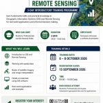
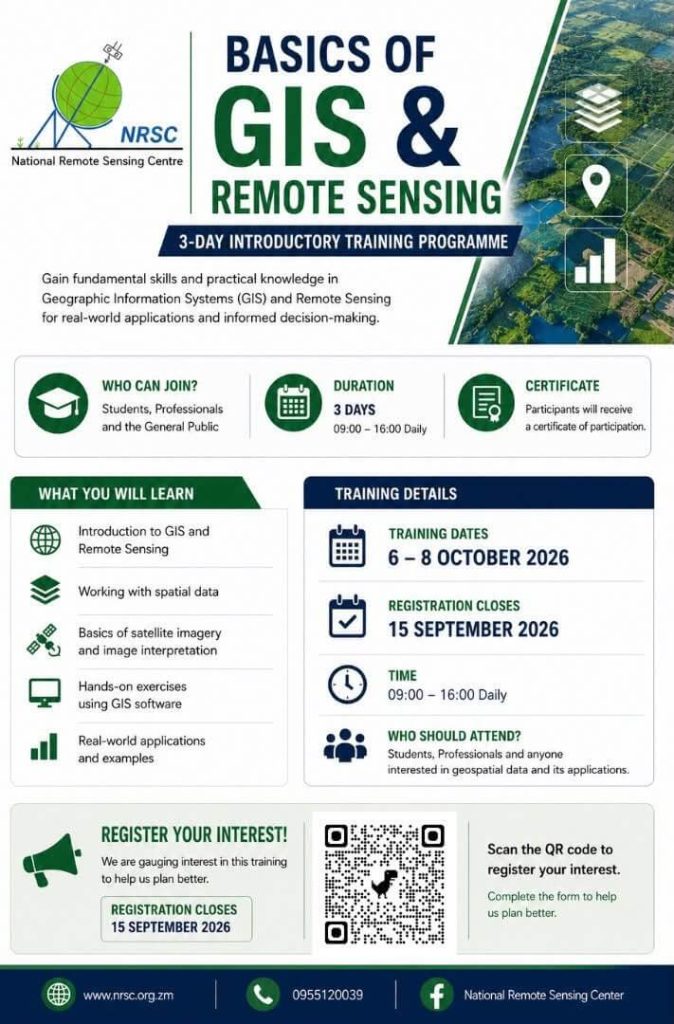
Scheduled to take place from 6 to 8 October 2026, the training programme will provide participants with a practical introduction to Geographic Information Systems (GIS), Remote Sensing and spatial data technologies that are transforming decision-making in agriculture, environmental management, land administration, urban planning and many other fields.
As Zambia continues to embrace digital transformation and data-driven development, the demand for professionals with geospatial and Earth observation skills continues to grow. The training programme is aimed at individuals seeking to enhance their professional competencies, explore career opportunities in geospatial technologies, or gain foundational knowledge of GIS and Remote Sensing.
Participants will receive training in several key areas, including:
- GIS and Remote Sensing Fundamentals;
- Spatial Data Management;
- Satellite Imagery Interpretation;
- Hands-on GIS Software Exercises; and
- Real-world Applications and Case Studies.
The programme will run daily from 09:00 hours to 16:00 hours, providing participants with both theoretical and practical learning experiences. Upon successful completion of the course, participants will receive a Certificate of Participation from the National Remote Sensing Centre.
According to NRSC, the training has been designed to make geospatial technology accessible to a broad audience while demonstrating the practical value of satellite data and spatial analysis in addressing real-world challenges.
GIS and Remote Sensing technologies are increasingly being used to support agricultural monitoring, environmental protection, disaster management, infrastructure planning, natural resource management and sustainable development planning. Through the training programme, participants will gain insight into how these tools can be applied to solve complex challenges and support evidence-based decision-making.
Interested individuals are encouraged to register early as places are limited. Registration closes on 15 September 2026.
The training forms part of NRSC’s ongoing commitment to strengthening national capacity in geospatial science, remote sensing and Earth observation technologies, while promoting wider adoption of spatial data and satellite-based solutions in support of Zambia’s development agenda.
Registration Details
- Registration Deadline: 15 September 2026
- Training Dates: 6 – 8 October 2026
- Time: 09:00 – 16:00 hours daily
- Certificate: Certificate of Participation awarded upon completion
The National Remote Sensing Centre remains committed to building the skills and expertise needed to support the growth of Zambia’s digital economy, geospatial sector and the effective application of Earth observation technologies for national development.