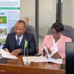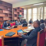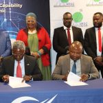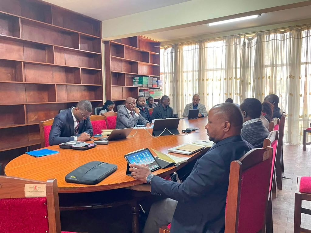
Lusaka, 22 July 2026 – The National Remote Sensing Centre (NRSC), together with its strategic partner, Solafune Inc. of Japan, successfully concluded a series of stakeholder engagements aimed at strengthening collaboration in the application of Earth Observation, geospatial intelligence and artificial intelligence for national development.
Held from 20 to 22 July 2026, the engagements brought together key institutions from the agriculture, education, mining and water sectors to explore innovative solutions to some of Zambia’s most pressing development challenges.
The stakeholder consultations commenced on 20 July with the Ministry of Agriculture, where discussions focused on the use of satellite imagery, remote sensing and AI-driven analytics for crop mapping, agricultural monitoring, yield forecasting and evidence-based agricultural planning. Participants explored opportunities to enhance food security through improved access to timely and accurate agricultural intelligence.
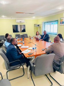
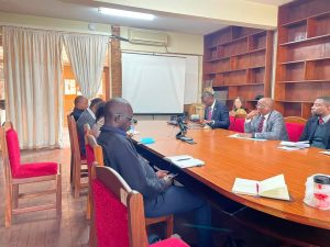
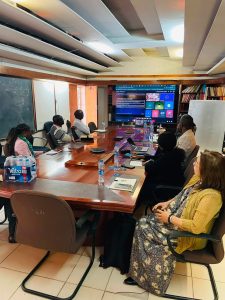
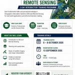
On 21 July, NRSC and Solafune met with the University of Zambia (UNZA) to discuss opportunities for collaboration in research, innovation and capacity building. The meeting highlighted the importance of strengthening local expertise in geospatial technologies and explored avenues for academic partnerships, skills development and joint research initiatives. Discussions also touched on potential collaboration under the proposed United Nations Industrial Development Organization (UNIDO)-supported programme.
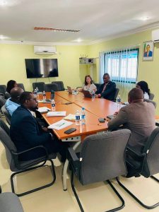
The final day of engagements on 22 July featured meetings with the Geological Survey Department, the Minerals Regulation Commission (MRC) and the Water Resources Management Authority (WARMA).
During the mining-sector engagements, stakeholders reviewed the application of Earth Observation technologies to mineral exploration, mining compliance monitoring, prospectivity mapping, environmental management and the detection of artisanal and illegal mining activities. Solafune showcased several satellite-based analytical tools capable of supporting evidence-based decision-making and strengthening oversight within the mining sector.
At WARMA, discussions centred on the application of remote sensing, machine learning and hydrological modelling for water resources monitoring, flood forecasting, catchment management and climate resilience. The meeting also explored opportunities for collaborative pilot projects and partnerships aimed at improving water security and disaster preparedness.
The engagements form part of NRSC’s broader strategy to promote the adoption of geospatial technologies across key sectors of the economy. Through its partnership with Solafune, the Centre is working to demonstrate how satellite data and advanced analytics can support informed decision-making, improve operational efficiency and contribute to sustainable national development.

The successful consultations have paved the way for further collaboration, pilot projects and institutional partnerships that will strengthen Zambia’s capacity to harness space-based technologies in support of agriculture, mining, water resources management, research and innovation.