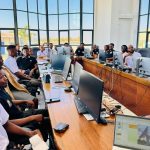
Advancing Zambia’s Development Through Space and Earth Observation
The National Remote Sensing Centre (NRSC) is Zambia’s leading institution for Earth Observation (EO) and Geospatial Information Services.
We harness satellite technology, GIS, and data analytics to provide actionable insights that support national development, sustainable resource management, and evidence-based decision-making.
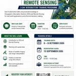
Through our specialized programs, NRSC delivers services across key sectors including agriculture, forestry, environmental management, disaster preparedness, public health, and capacity building.
By transforming geospatial data into meaningful information, we help institutions, policymakers, and communities make informed choices that promote sustainability, resilience, and innovation.